Lewiston Trail
| Located hill top of US Hwy 52 State rt. 64, west of Savanna, IL | Coordinates Lat N 42:04':50" Lon W 90:02':33" | |
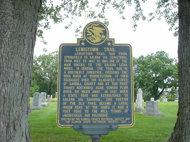
LEWISTON TRAIL Lewiston trail ran from Springfield to Galena via Lewiston from 1827 to 1937 it was one of the main routes to the Galena lead mines. In general the trail ran in a northerly direction , crossing the Rock River at Prophetstown, It then zigzagged over the glaciated slopes of Carroll County and at this point turned northward again toward plum river, six miles away. In 1837 when a state road was established to Galena via Savanna, this portion of the old trail became a local wagon road. By the 1850's it was a post road to the mill towns of Jacobsville and Polsgrove ERECTED BY THE CARROLL COUNTY HISTORICAL SOCIETY AND THE ILLINOIS STATE HISTORICAL SOCIETY. 1971 |
|
|
| Back to Historical Markers |
|
|
| Back to USA |
|