| Located North side of Lake Wisconsin SR 78 113 South side SR 113 188 | Coordinates Lat N 43:21':56" Lon W 89:37':09" | |
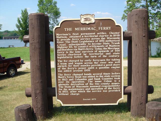 |
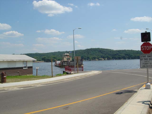
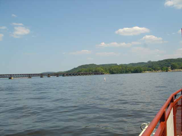
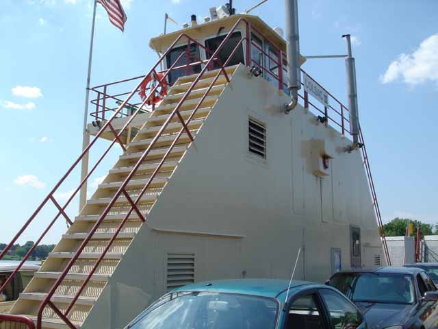
THE MERRIMAC FERRY Merrimac's first permanent settler, Chester Mattson, obtained a territorial charter in 1848 to provide ferry service across the Wisconsin River. The State Legislature of 1851 authorized a road, subsequently to become State Trunk Highway 113, to connect settlements at Madison and Baraboo via Matt's ferry. Today the Merrimac Ferry is the lone survivor of upwards of 500 ferries charted by territorial and state legislatures before the turn of the century. The fee charged by early ferrymen for taking a team and wagon across the river was well earned., for their muscles provided a good share of the ferry's power until a gasoline engine was added around 1900. The ferry changed hands several times before Matt's Ferry Road was added to the state system in 1923 and Columbia and Sauk Counties took over its operation. The name Colsac is a phonetic derivation of the two county names. The State of Wisconsin assumed responsibility for the maintenance and operation of the ferry in 1933, after which the service was provided without charge erected 1973 |
|
|
|
|
Link to Wisconsin DOT Merrimac ferry
|
|
|
| Back to USA |
|