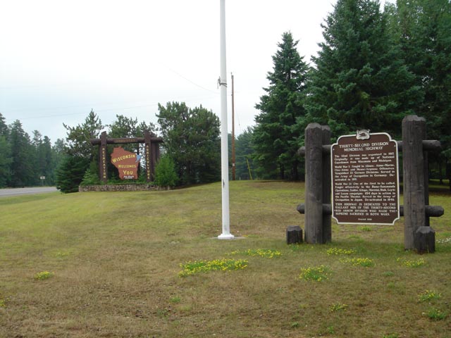
| Located Wisconsin state line on highway 45 south | Coordinates Lat N 43:08':417" Lon W 89:12':365" | |
 |
||
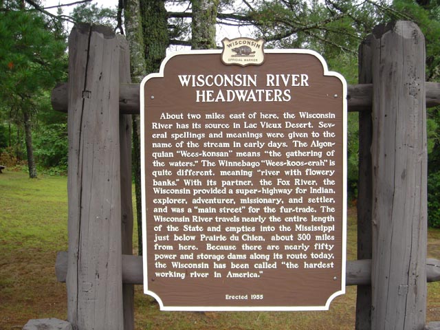
WISCONSIN RIVER HEADWATERS About two miles of here, the Wisconsin River has its source in Lac Vieux Desert. Several spellings and meanings were given to the name of the stream in the early days. The Algonquian "Wees~konsin" means "the gathering of the waters." The Winnebago "Wees~koo~erah" is quite different, meaning "river with flowery banks." With it's partner, the Fox River, the Wisconsin provided a super~highway for the fur~trade. The Wisconsin River travels nearly the entire length of the State and empties into the Mississippi just below Prairie du Chien, about 300 miles from here. Because there are nearly fifty power and storage dams along its route today, the Wisconsin has been called the "hardest working river in America"
Erected 1955 |
|
|
| Back to Historical Markers |
|
|
| Back to USA |
|