| Located at the End of Hermans Landing Drive off N County CC at bridge, New Post, WI | Coordinates Lat N 45:55':950" Lon W -91:11':320" | |
 |
||
|
|
|
| Back to Historical Markers |
|
|
| Back to USA |
|
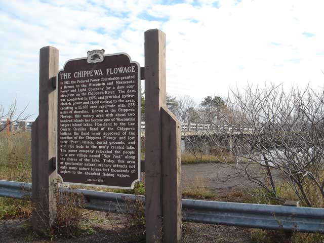
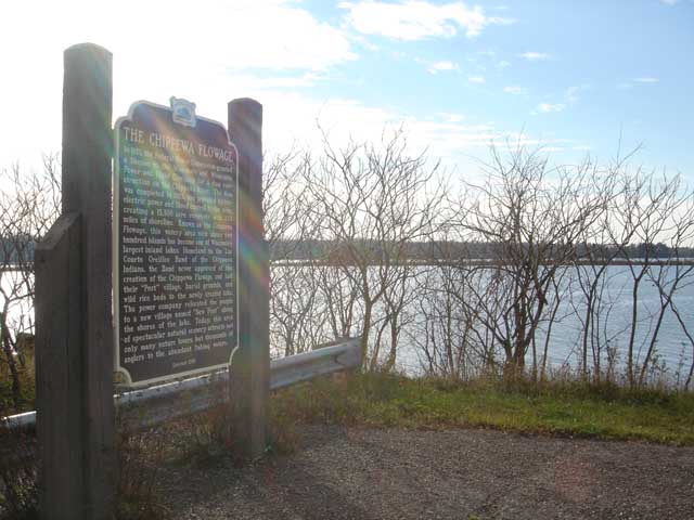
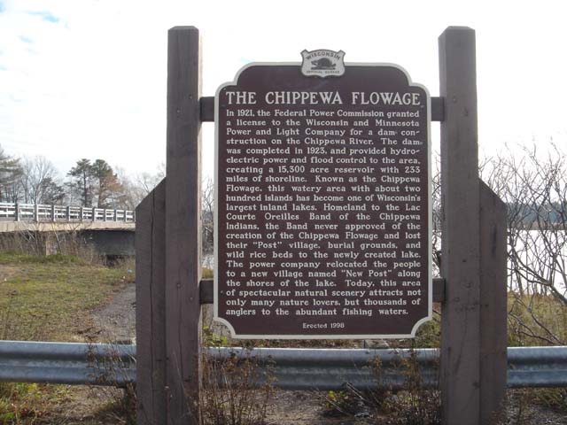
Chippewa Flowage
| Located at the End of Hermans Landing Drive off N County CC at bridge, New Post, WI | Coordinates Lat N 45:55':950" Lon W -91:11':320" | |
|
||
|
|
|
| Back to Historical Markers |
|
|
| Back to USA |
|